
Thank you for supporting this site ❤️
Make a donation
Make a donation
Kalobeyei Camp 1 topographic map
Click on the map to display elevation.
Thank you for supporting this site ❤️
Make a donation
Make a donation
About this map
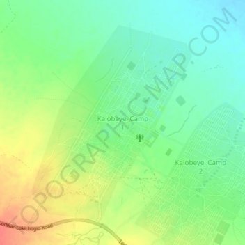
Name: Kalobeyei Camp 1 topographic map, elevation, terrain.
Location: Kalobeyei Camp 1, Turkana County, Rift Valley, Kenya (3.74855 34.71194 3.78855 34.75194)
Average elevation: 617 m
Minimum elevation: 596 m
Maximum elevation: 646 m
Thank you for supporting this site ❤️
Make a donation
Make a donation
Other topographic maps
Click on a map to view its topography, its elevation and its terrain.