
Thank you for supporting this site ❤️
Make a donation
Make a donation
Potrero topographic map
Click on the map to display elevation.
Thank you for supporting this site ❤️
Make a donation
Make a donation
About this map
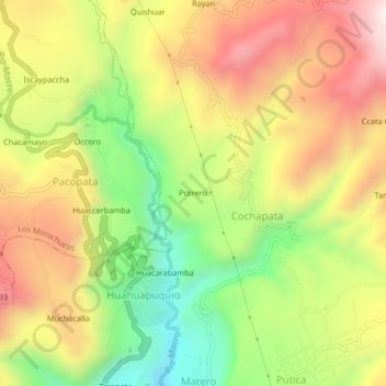
Name: Potrero topographic map, elevation, terrain.
Location: Potrero, Cochapata, Cangallo, Ayacucho, Perú (-13.60666 -74.16888 -13.56666 -74.12888)
Average elevation: 3,170 m
Minimum elevation: 2,775 m
Maximum elevation: 3,564 m
Thank you for supporting this site ❤️
Make a donation
Make a donation