
Thank you for supporting this site ❤️
Make a donation
Make a donation
Duggingen topographic map
Click on the map to display elevation.
Thank you for supporting this site ❤️
Make a donation
Make a donation
About this map
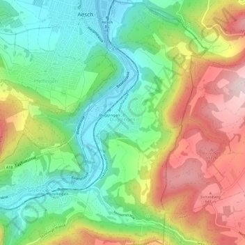
Name: Duggingen topographic map, elevation, terrain.
Location: Duggingen, Bezirk Laufen, Basel-Landschaft, 4202, Switzerland (47.43270 7.59393 47.47045 7.62607)
Average elevation: 463 m
Minimum elevation: 298 m
Maximum elevation: 704 m
Thank you for supporting this site ❤️
Make a donation
Make a donation