
LA LOMA topographic map
Interactive map
Click on the map to display elevation.
About this map
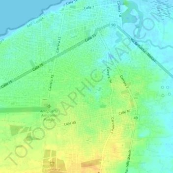
Name: LA LOMA topographic map, elevation, terrain.
Location: LA LOMA, Riohacha, La Guajira, 24-58, Colombia (11.51156 -72.92942 11.55156 -72.88942)
Average elevation: 11 m
Minimum elevation: -2 m
Maximum elevation: 26 m