
Parc Michel Chartrand topographic map
Interactive map
Click on the map to display elevation.
About this map
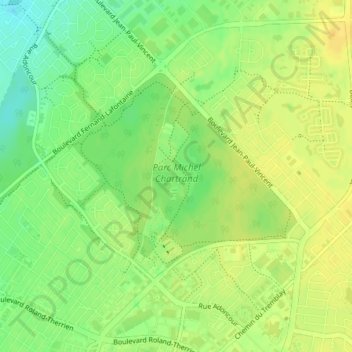
Name: Parc Michel Chartrand topographic map, elevation, terrain.
Average elevation: 28 m
Minimum elevation: 13 m
Maximum elevation: 37 m
Other topographic maps
Click on a map to view its topography, its elevation and its terrain.
Île Charron
Île Charron, Longueuil, Longueuil (agglomeration), Montérégie, Québec, J4B 8M1, Canada
Average elevation: 9 m