
Thank you for supporting this site ❤️
Make a donation
Make a donation
Valgrande topographic map
Click on the map to display elevation.
Thank you for supporting this site ❤️
Make a donation
Make a donation
About this map
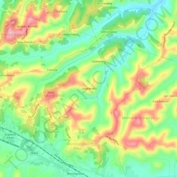
Name: Valgrande topographic map, elevation, terrain.
Location: Valgrande, Vigliano d'Asti, Asti, Piemonte, 14048, Italia (44.81696 8.22326 44.85696 8.26326)
Average elevation: 194 m
Minimum elevation: 124 m
Maximum elevation: 288 m
Thank you for supporting this site ❤️
Make a donation
Make a donation