
Thank you for supporting this site ❤️
Make a donation
Make a donation
Al Badari topographic map
Click on the map to display elevation.
Thank you for supporting this site ❤️
Make a donation
Make a donation
About this map
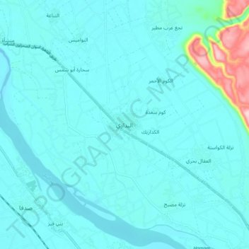
Name: Al Badari topographic map, elevation, terrain.
Location: Al Badari, Asyut, 71727, Egypt (26.95222 31.37516 27.03222 31.45516)
Average elevation: 70 m
Minimum elevation: 46 m
Maximum elevation: 270 m
Thank you for supporting this site ❤️
Make a donation
Make a donation
Other topographic maps
Click on a map to view its topography, its elevation and its terrain.