
Punta Ballena topographic map
Interactive map
Click on the map to display elevation.
About this map
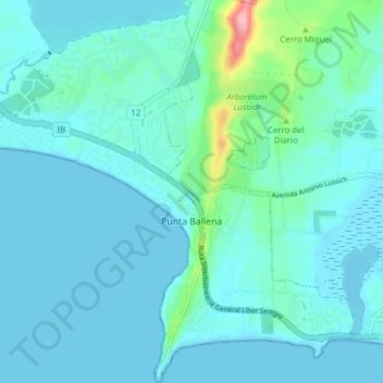
Name: Punta Ballena topographic map, elevation, terrain.
Location: Punta Ballena, Maldonado, 20003, Uruguay (-34.91680 -55.08161 -34.85354 -55.00733)
Average elevation: 17 m
Minimum elevation: -1 m
Maximum elevation: 141 m
Other topographic maps
Click on a map to view its topography, its elevation and its terrain.