
漳扎镇 topographic map
Interactive map
Click on the map to display elevation.
About this map
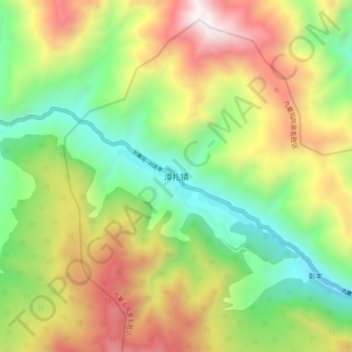
Name: 漳扎镇 topographic map, elevation, terrain.
Location: 漳扎镇, 九寨沟县, 阿坝藏族羌族自治州, 四川省, 中国 (33.25597 103.82495 33.33597 103.90495)
Average elevation: 2,751 m
Minimum elevation: 2,006 m
Maximum elevation: 3,789 m
Other topographic maps
Click on a map to view its topography, its elevation and its terrain.