
濮上街道 topographic map
Interactive map
Click on the map to display elevation.
About this map
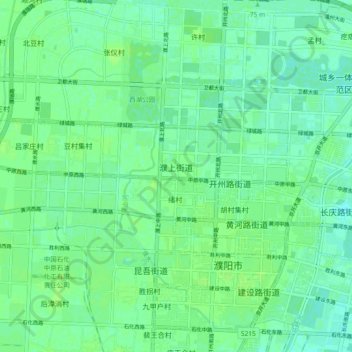
Name: 濮上街道 topographic map, elevation, terrain.
Location: 濮上街道, 华龙区, Puyang, Henan, Chine (35.76885 114.94665 35.79517 115.03929)
Average elevation: 54 m
Minimum elevation: 49 m
Maximum elevation: 58 m