
Gemeinde Faggen topographic map
Interactive map
Click on the map to display elevation.
About this map
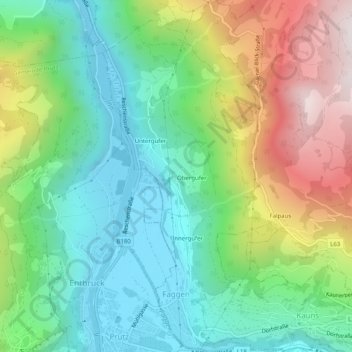
Name: Gemeinde Faggen topographic map, elevation, terrain.
Location: Gemeinde Faggen, Bezirk Landeck, Tirol, 6525, Österreich (47.07559 10.66181 47.10966 10.68586)
Average elevation: 1,222 m
Minimum elevation: 856 m
Maximum elevation: 1,947 m