
Hawkins County topographic map
Interactive map
Click on the map to display elevation.
About this map
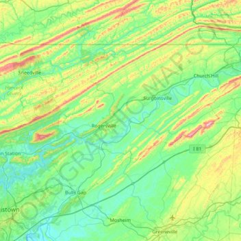
Name: Hawkins County topographic map, elevation, terrain.
Location: Hawkins County, Tennessee, États-Unis d'Amérique (36.24211 -83.28908 36.59411 -82.60001)
Average elevation: 441 m
Minimum elevation: 308 m
Maximum elevation: 901 m