
Lac au Loup topographic map
Interactive map
Click on the map to display elevation.
About this map
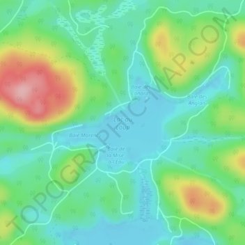
Name: Lac au Loup topographic map, elevation, terrain.
Location: Lac au Loup, Boileau, Papineau, Outaouais, Québec, Canada (45.91899 -74.74386 45.92905 -74.71763)
Average elevation: 254 m
Minimum elevation: 207 m
Maximum elevation: 363 m
Other topographic maps
Click on a map to view its topography, its elevation and its terrain.
Lac Coursolle
Canada > Québec > Papineau > Boileau
Lac Coursolle, Boileau, Papineau, Outaouais, Québec, Canada
Average elevation: 270 m