
Alteveer topographic map
Interactive map
Click on the map to display elevation.
About this map
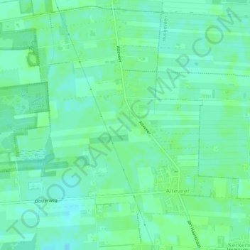
Name: Alteveer topographic map, elevation, terrain.
Location: Alteveer, De Wolden, Drenthe, Nederland (52.66864 6.45979 52.69429 6.49333)
Average elevation: 12 m
Minimum elevation: 7 m
Maximum elevation: 14 m