
Scherpenberg topographic map
Interactive map
Click on the map to display elevation.
About this map
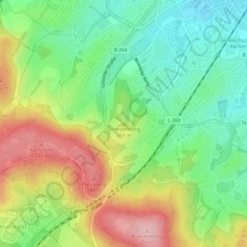
Name: Scherpenberg topographic map, elevation, terrain.
Average elevation: 257 m
Minimum elevation: 184 m
Maximum elevation: 361 m
Other topographic maps
Click on a map to view its topography, its elevation and its terrain.
Lemiers
Duitsland > Noordrijn-Westfalen > Städteregion Aachen > Aken > Orsbach
Lemiers, Laurensberg, Orsbach, Aken, Städteregion Aachen, Noordrijn-Westfalen, 52074, Duitsland
Average elevation: 193 m