
Thank you for supporting this site ❤️
Make a donation
Make a donation
Borgo Berta topographic map
Click on the map to display elevation.
Thank you for supporting this site ❤️
Make a donation
Make a donation
About this map
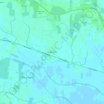
Name: Borgo Berta topographic map, elevation, terrain.
Location: Borgo Berta, Villanova, Феррара, Эмилия-Романья, 44123, Италия (44.80076 11.78907 44.84076 11.82907)
Average elevation: 2 m
Minimum elevation: -1 m
Maximum elevation: 7 m
Thank you for supporting this site ❤️
Make a donation
Make a donation