
Sotos topographic map
Interactive map
Click on the map to display elevation.
About this map
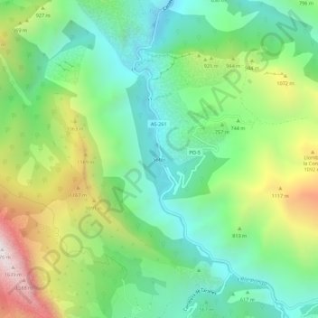
Name: Sotos topographic map, elevation, terrain.
Location: Sotos, Asturias, España (43.20047 -5.22729 43.24047 -5.18729)
Average elevation: 739 m
Minimum elevation: 268 m
Maximum elevation: 1,654 m