
Qorğaljın district topographic map
Interactive map
Click on the map to display elevation.
About this map
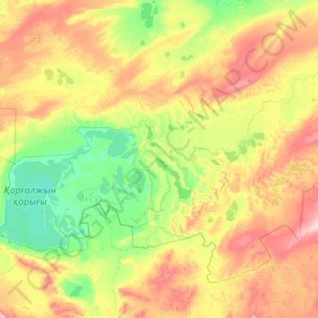
Name: Qorğaljın district topographic map, elevation, terrain.
Location: Qorğaljın district, Akmola Region, Kazakhstan (50.03919 68.67393 51.11492 70.85371)
Average elevation: 346 m
Minimum elevation: 300 m
Maximum elevation: 463 m
Other topographic maps
Click on a map to view its topography, its elevation and its terrain.
Lake Tengiz
Lake Tengiz, Коргалжынский район, Akmola Region, Kazakhstan
Average elevation: 318 m