
Mander topographic map
Interactive map
Click on the map to display elevation.
About this map
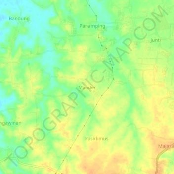
Name: Mander topographic map, elevation, terrain.
Location: Mander, Serang, Banten, Jawa, Indonesië (-6.27544 106.30864 -6.23544 106.34864)
Average elevation: 29 m
Minimum elevation: 11 m
Maximum elevation: 42 m