
Atães topographic map
Interactive map
Click on the map to display elevation.
About this map
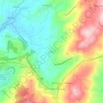
Name: Atães topographic map, elevation, terrain.
Location: Atães, Guimarães, Braga, 4800-016, Portugal (41.43852 -8.27118 41.47852 -8.23118)
Average elevation: 322 m
Minimum elevation: 184 m
Maximum elevation: 515 m