
Popocatépetl topographic map
Interactive map
Click on the map to display elevation.
About this map
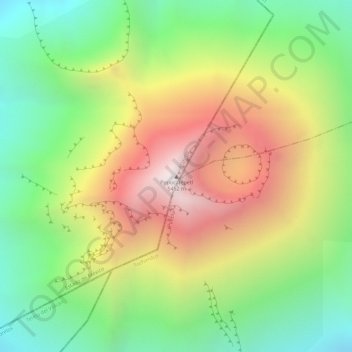
Name: Popocatépetl topographic map, elevation, terrain.
Location: Popocatépetl, Atlautla, Mexico (19.02263 -98.62778 19.02273 -98.62768)
Average elevation: 4,810 m
Minimum elevation: 4,293 m
Maximum elevation: 5,409 m