
Hilda topographic map
Interactive map
Click on the map to display elevation.
About this map
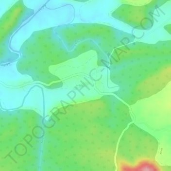
Name: Hilda topographic map, elevation, terrain.
Location: Hilda, Chikhaldara, Amravati, Maharashtra, India (21.73074 77.42209 21.74055 77.44147)
Average elevation: 498 m
Minimum elevation: 452 m
Maximum elevation: 598 m
Other topographic maps
Click on a map to view its topography, its elevation and its terrain.
Shahpur
India > Maharashtra > Chikhaldara
Shahpur, Chikhaldara, Amravati District, Maharashtra, India
Average elevation: 1,016 m
Tetu
India > Maharashtra > Chikhaldara
Tetu, Chikhaldara, Amravati, Maharashtra, India
Average elevation: 798 m