
Branson topographic map
Interactive map
Click on the map to display elevation.
About this map
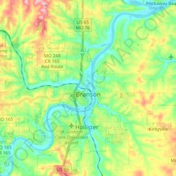
Name: Branson topographic map, elevation, terrain.
Location: Branson, Taney County, Missouri, Estados Unidos da América (36.59433 -93.31472 36.70091 -93.21135)
Average elevation: 275 m
Minimum elevation: 210 m
Maximum elevation: 395 m