
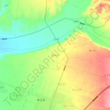
南木坂 topographic map
Interactive map
Click on the map to display elevation.
About this map
Name: 南木坂 topographic map, elevation, terrain.
Location: 南木坂, 翼城县, 临汾市, 山西省, 中国 (35.71203 111.74369 35.75203 111.78369)
Average elevation: 627 m
Minimum elevation: 565 m
Maximum elevation: 699 m
Other topographic maps
Click on a map to view its topography, its elevation and its terrain.