
Thank you for supporting this site ❤️
Make a donation
Make a donation
Lake Dunlap topographic map
Click on the map to display elevation.
Thank you for supporting this site ❤️
Make a donation
Make a donation
About this map
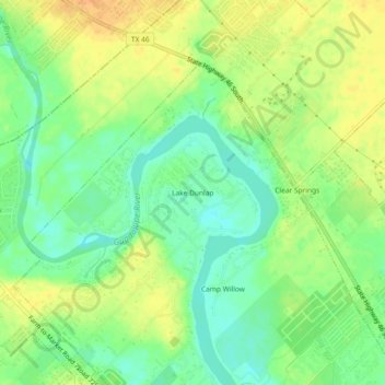
Name: Lake Dunlap topographic map, elevation, terrain.
Location: Lake Dunlap, Guadalupe County, Texas, 78130, United States (29.65578 -98.09223 29.69578 -98.05223)
Average elevation: 188 m
Minimum elevation: 172 m
Maximum elevation: 204 m
Thank you for supporting this site ❤️
Make a donation
Make a donation
Other topographic maps
Click on a map to view its topography, its elevation and its terrain.