
Thank you for supporting this site ❤️
Make a donation
Make a donation
Rangampeta topographic map
Click on the map to display elevation.
Thank you for supporting this site ❤️
Make a donation
Make a donation
About this map
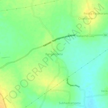
Name: Rangampeta topographic map, elevation, terrain.
Location: Rangampeta, East Godavari, Andhra Pradesh, 533291, India (17.06476 81.96626 17.10476 82.00626)
Average elevation: 49 m
Minimum elevation: 36 m
Maximum elevation: 63 m
Thank you for supporting this site ❤️
Make a donation
Make a donation