
Möser topographic map
Interactive map
Click on the map to display elevation.
About this map
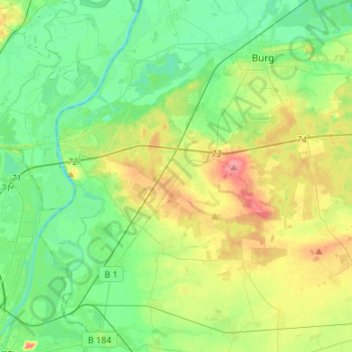
Name: Möser topographic map, elevation, terrain.
Location: Möser, Jerichower Land, Saxe-Anhalt, 39291, Allemagne (52.16753 11.68737 52.26198 11.95718)
Average elevation: 54 m
Minimum elevation: 30 m
Maximum elevation: 105 m