
Martuni topographic map
Interactive map
Click on the map to display elevation.
About this map
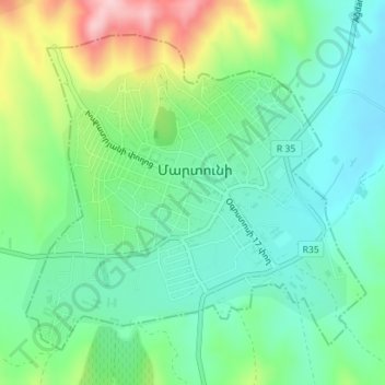
Name: Martuni topographic map, elevation, terrain.
Location: Martuni, Aserbaidschan (39.78237 47.09546 39.80452 47.12662)
Average elevation: 409 m
Minimum elevation: 341 m
Maximum elevation: 565 m