
Kaulille topographic map
Interactive map
Click on the map to display elevation.
About this map
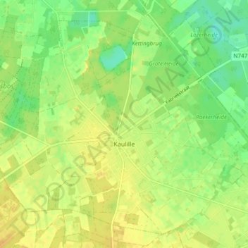
Name: Kaulille topographic map, elevation, terrain.
Location: Kaulille, Bocholt, Maaseik, Limburg, Vlaanderen, België (51.17321 5.47744 51.21470 5.55183)
Average elevation: 44 m
Minimum elevation: 29 m
Maximum elevation: 56 m
Other topographic maps
Click on a map to view its topography, its elevation and its terrain.