
Curup topographic map
Click on the map to display elevation.
About this map
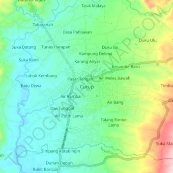
Name: Curup topographic map, elevation, terrain.
Location: Curup, Rejang Lebong, Bengkulu, Sumatra, Indonesia (-3.50762 102.49011 -3.42762 102.57011)
Average elevation: 677 m
Minimum elevation: 585 m
Maximum elevation: 934 m