
Kendrick topographic map
Interactive map
Click on the map to display elevation.
About this map
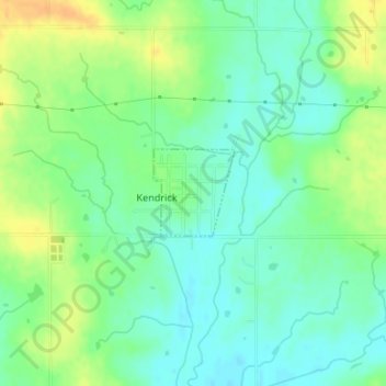
Name: Kendrick topographic map, elevation, terrain.
Location: Kendrick, Oklahoma, United States of America (35.78205 -96.77835 35.78817 -96.77136)
Average elevation: 262 m
Minimum elevation: 249 m
Maximum elevation: 281 m