
Thank you for supporting this site ❤️
Make a donation
Make a donation
Victoria topographic map
Click on the map to display elevation.
Thank you for supporting this site ❤️
Make a donation
Make a donation
About this map
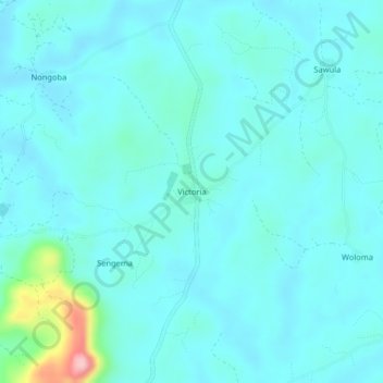
Name: Victoria topographic map, elevation, terrain.
Location: Victoria, Kenema District, Eastern Province, Sierra Leone (7.92076 -11.34520 7.96076 -11.30520)
Average elevation: 144 m
Minimum elevation: 119 m
Maximum elevation: 313 m
Thank you for supporting this site ❤️
Make a donation
Make a donation