
Sint Jacobiparochie topographic map
Interactive map
Click on the map to display elevation.
About this map
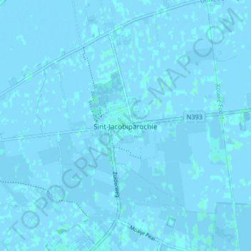
Name: Sint Jacobiparochie topographic map, elevation, terrain.
Location: Sint Jacobiparochie, Friesland, Niederlande, 9079, Niederlande (53.25285 5.58781 53.29285 5.62781)
Average elevation: 0 m
Minimum elevation: -4 m
Maximum elevation: 3 m