
Fall Brook topographic map
Interactive map
Click on the map to display elevation.
About this map
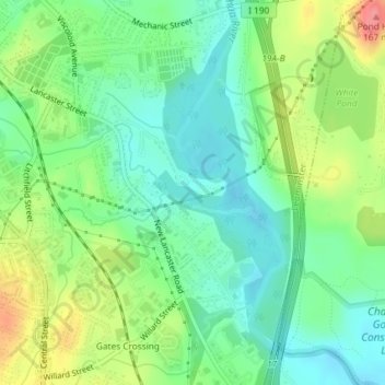
Name: Fall Brook topographic map, elevation, terrain.
Average elevation: 109 m
Minimum elevation: 79 m
Maximum elevation: 164 m
Other topographic maps
Click on a map to view its topography, its elevation and its terrain.
Leominster State Forest
USA > Massachusetts > Leominster
Leominster State Forest, Parmenter Street, Leominster, Worcester, Massachusetts, USA
Average elevation: 274 m