
Cherry Lake topographic map
Interactive map
Click on the map to display elevation.
About this map
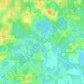
Name: Cherry Lake topographic map, elevation, terrain.
Location: Cherry Lake, Madison County, Florida, USA (30.56326 -83.44709 30.60326 -83.40709)
Average elevation: 42 m
Minimum elevation: 27 m
Maximum elevation: 73 m