
Beverly Beach topographic map
Interactive map
Click on the map to display elevation.
About this map
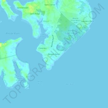
Name: Beverly Beach topographic map, elevation, terrain.
Location: Beverly Beach, Anne Arundel County, Maryland, 20764, USA (38.85539 -76.52801 38.89539 -76.48801)
Average elevation: 2 m
Minimum elevation: -2 m
Maximum elevation: 15 m