
Oosterbeek topographic map
Interactive map
Click on the map to display elevation.
About this map
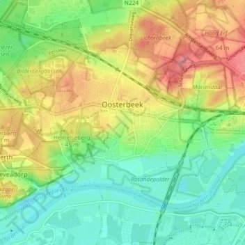
Name: Oosterbeek topographic map, elevation, terrain.
Location: Oosterbeek, Renkum, Geldern, Niederlande (51.96951 5.79867 52.00081 5.87086)
Average elevation: 34 m
Minimum elevation: 0 m
Maximum elevation: 81 m
Other topographic maps
Click on a map to view its topography, its elevation and its terrain.
Assel
Niederlande > Geldern > Hoog Soeren > Assel
Assel, Hoog Soeren, Apeldoorn, Geldern, Niederlande, 7339, Niederlande
Average elevation: 58 m