
Trautenfels topographic map
Interactive map
Click on the map to display elevation.
About this map
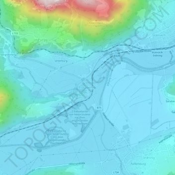
Name: Trautenfels topographic map, elevation, terrain.
Location: Trautenfels, Liezen, Steiermark, 8951, Österreich (47.50041 14.06340 47.54041 14.10340)
Average elevation: 723 m
Minimum elevation: 636 m
Maximum elevation: 1,342 m