
白馬村 topographic map
Interactive map
Click on the map to display elevation.
About this map
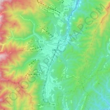
Name: 白馬村 topographic map, elevation, terrain.
Location: 白馬村, 北安曇郡, Prefectura de Nagano, Región de Chūbu, Japón (36.61393 137.75002 36.76769 137.94154)
Average elevation: 1,120 m
Minimum elevation: 528 m
Maximum elevation: 2,578 m