
Thank you for supporting this site ❤️
Make a donation
Make a donation
Adorf topographic map
Click on the map to display elevation.
Thank you for supporting this site ❤️
Make a donation
Make a donation
About this map
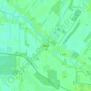
Name: Adorf topographic map, elevation, terrain.
Location: Adorf, Twist, Landkreis Emsland, Lower Saxony, 49767, Germany (52.58922 7.06771 52.62922 7.10771)
Average elevation: 19 m
Minimum elevation: 14 m
Maximum elevation: 23 m
Thank you for supporting this site ❤️
Make a donation
Make a donation
Other topographic maps
Click on a map to view its topography, its elevation and its terrain.