
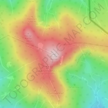
Großer Rachel topographic map
Interactive map
Click on the map to display elevation.
About this map
Name: Großer Rachel topographic map, elevation, terrain.
Location: Großer Rachel, Frauenau, Landkreis Regen, Bayern, Deutschland (48.97849 13.38892 48.97859 13.38902)
Average elevation: 1,207 m
Minimum elevation: 976 m
Maximum elevation: 1,440 m