
Lakehills topographic map
Interactive map
Click on the map to display elevation.
About this map
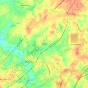
Name: Lakehills topographic map, elevation, terrain.
Location: Lakehills, Coweta County, Georgia, 30263, USA (33.38900 -84.79160 33.42900 -84.75160)
Average elevation: 280 m
Minimum elevation: 247 m
Maximum elevation: 304 m