
Thank you for supporting this site ❤️
Make a donation
Make a donation
Jose Olaya topographic map
Click on the map to display elevation.
Thank you for supporting this site ❤️
Make a donation
Make a donation
About this map
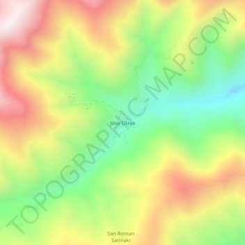
Name: Jose Olaya topographic map, elevation, terrain.
Location: Jose Olaya, Perené, Chanchamayo, Junín, Perú (-10.83977 -75.06548 -10.79977 -75.02548)
Average elevation: 1,145 m
Minimum elevation: 728 m
Maximum elevation: 1,626 m
Thank you for supporting this site ❤️
Make a donation
Make a donation