
Angal topographic map
Interactive map
Click on the map to display elevation.
About this map
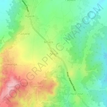
Name: Angal topographic map, elevation, terrain.
Location: Angal, Nebbi, Northern Region, Ouganda (2.43437 31.17831 2.47437 31.21831)
Average elevation: 1,019 m
Minimum elevation: 950 m
Maximum elevation: 1,118 m
Other topographic maps
Click on a map to view its topography, its elevation and its terrain.