
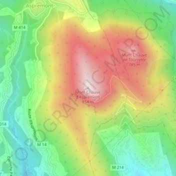
Mont Chauve d'Aspremont topographic map
Interactive map
Click on the map to display elevation.
About this map
Name: Mont Chauve d'Aspremont topographic map, elevation, terrain.
Average elevation: 509 m
Minimum elevation: 234 m
Maximum elevation: 847 m