
Balintang Channel topographic map
Interactive map
Click on the map to display elevation.
About this map
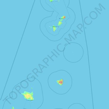
Name: Balintang Channel topographic map, elevation, terrain.
Location: Balintang Channel, Batanes, Cagayan Valley, 菲律宾 / 菲律賓 (19.90023 120.96309 19.95446 122.64774)
Average elevation: 2 m
Minimum elevation: 0 m
Maximum elevation: 1,020 m