
Thank you for supporting this site ❤️
Make a donation
Make a donation
Davenport Hill topographic map
Click on the map to display elevation.
Thank you for supporting this site ❤️
Make a donation
Make a donation
About this map
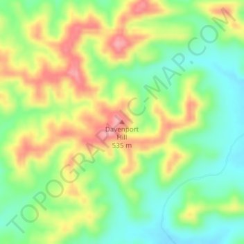
Name: Davenport Hill topographic map, elevation, terrain.
Location: Davenport Hill, Uvalde County, Texas, United States (29.46379 -99.79205 29.46389 -99.79195)
Average elevation: 468 m
Minimum elevation: 414 m
Maximum elevation: 537 m
Thank you for supporting this site ❤️
Make a donation
Make a donation