
Driehoek topographic map
Interactive map
Click on the map to display elevation.
About this map
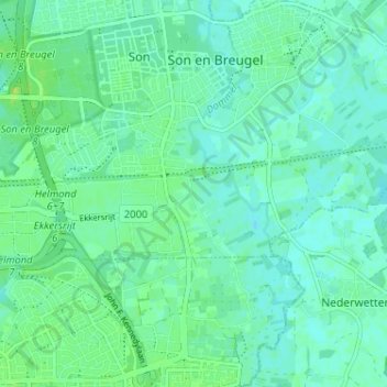
Name: Driehoek topographic map, elevation, terrain.
Location: Driehoek, North Brabant, Netherlands, 5691NE, Netherlands (51.48345 5.47720 51.52345 5.51720)
Average elevation: 16 m
Minimum elevation: 11 m
Maximum elevation: 24 m