
Fürstenstein topographic map
Interactive map
Click on the map to display elevation.
About this map
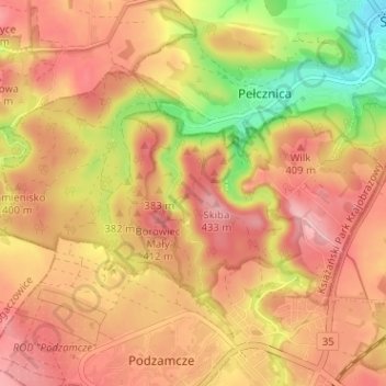
Name: Fürstenstein topographic map, elevation, terrain.
Location: Fürstenstein, Waldenburg, Woiwodschaft Niederschlesien, Polen (50.82888 16.24944 50.85414 16.31306)
Average elevation: 376 m
Minimum elevation: 284 m
Maximum elevation: 432 m