
Thank you for supporting this site ❤️
Make a donation
Make a donation
Harting topographic map
Click on the map to display elevation.
Thank you for supporting this site ❤️
Make a donation
Make a donation
About this map
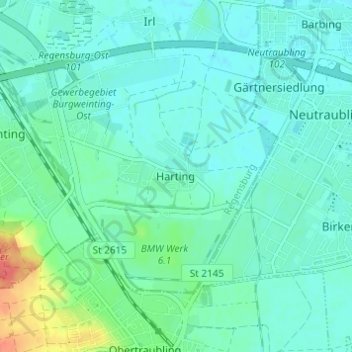
Name: Harting topographic map, elevation, terrain.
Location: Harting, Regensburg, Bayern, 93083, Deutschland (48.96561 12.15243 49.00561 12.19243)
Average elevation: 338 m
Minimum elevation: 327 m
Maximum elevation: 381 m
Thank you for supporting this site ❤️
Make a donation
Make a donation
Other topographic maps
Click on a map to view its topography, its elevation and its terrain.
Schloss Pürkelgut
Deutschland > Bayern > Regensburg
Das heutige Schloss Pürkelgut liegt im südöstlichen Regensburger Stadtbezirk Kasernenviertel, das im Süden von der Ost-West-Autobahn A3 begrenzt wird. Südlich der Autobahn liegt der Regensburger Stadtbezirk Burgweinting-Harting. Die Autobahn verläuft auf dem Höhenrücken des geologisch als Hochterrasse…
Average elevation: 339 m